Grand Theft Auto VI takes place in Leonida, a fictional state inspired by Florida. Vice City is the big city inside Leonida. Its pastel beach hotels are just one side of a setting that also includes island causeways, alligator wetlands and wooded ridges.
Rockstar’s GTA 6 map reveals cover six destinations: Vice City, the Leonida Keys, Grassrivers, Port Gellhorn, Ambrosia and Mount Kalaga National Park. Here’s how to tell them apart, even when a trailer cuts from one scene to the next. Rockstar’s Only in Leonida showcase · Game Informer’s reporting from interviews with Rockstar
Can you place these three scenes?
Make a guess, then open each clue to reveal the answer. The clues come from Rockstar’s location showcase.
Where would you file an airboat shot with alligators in the water?
Grassrivers. Rockstar’s wetlands gallery puts airboats and alligators in the same frame. The coast and open water are better clues for the Leonida Keys.
Which town is built around a sugar refinery?
Ambrosia. Rockstar names Allied Crystal as a major local employer. For shuttered attractions and faded roadside motels, think Port Gellhorn.
Which destination puts dirt bikes on muddy trails near the state’s northern border?
Mount Kalaga National Park. Rockstar places the park along Leonida’s northern edge and shows dirt bikes in its official gallery.
The six GTA 6 locations Rockstar has shown
The details below come from the Explore cards in Only in Leonida. Open a card there if you want to see the corresponding official images.
Vice City
Ocean Beach has pastel Art Deco hotels. Little Cuba has bakeries. The port has cruise ships. Those details give you three ways to recognize Vice City depending on where the camera is pointed. If all you see in a clip is a waterfront skyline, look for a second clue before putting a neighborhood name on it.
Leonida Keys
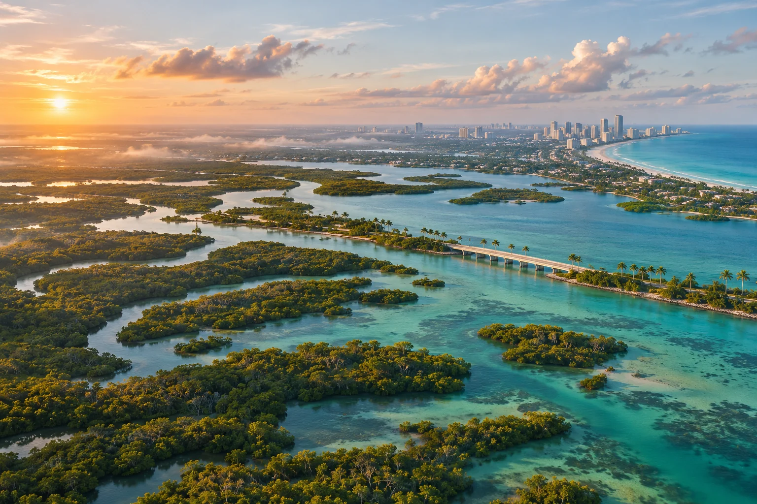
The Keys are a chain of tropical islands. One official image looks down on a bridge between wooded islands, with a seaplane in the frame. Look for long stretches of exposed water, with the road appearing as a thin connection between pieces of land.
Grassrivers
Here the water closes in. Rockstar’s Grassrivers images show alligators and airboats in the wetlands. Compare an overhead shot of an airboat surrounded by gators with the bridge shot from the Keys. Both scenes are on water, but the wetland channels and open coastal water give the two areas very different silhouettes.
Port Gellhorn
Rockstar describes Port Gellhorn as a former tourist destination with budget motels, closed attractions and empty strip malls. It’s a different kind of coast from Vice City’s resort frontage or the Keys’ island bars. If a shot lingers on the remnants of roadside tourism, this is the destination to check first.
Ambrosia
The giveaway is the Allied Crystal sugar refinery. Its tanks and smokestacks give Ambrosia a skyline of its own. Port Gellhorn’s reveal is about a town whose attractions stopped drawing visitors. Ambrosia’s is about a town with a working industry at its center.
Mount Kalaga National Park
Rockstar places the park near Leonida’s northern border and highlights its off-road trails. The gallery shows a winding road between steep, wooded hills, plus a separate shot of riders in the mud. A ridge can help you identify the park in a trailer. It tells you little about which road gets you there.
When can you download the official GTA 6 map?
Rockstar says a free digital map of Leonida is due on November 19, 2026, alongside a printable cover-art poster. As of November 17, the download was still upcoming. Check the official GTA VI media page from launch day. Rockstar’s November 3 announcement in Spanish
In the meantime, Rockstar’s launch gallery lets you study individual scenes. The official material checked for this guide gives a sense of the terrain. It leaves exact driving distances and the full road network open.
That distinction matters when someone puts an exact drive time or square-mile figure on a graphic. For instance, the Keys bridge image shows a link between islands. To calculate a drive from Vice City to Mount Kalaga, you’d need a verified start, finish and route, plus a timed run. A reveal can establish the scenery without answering any of those questions.
Next time a map graphic makes the rounds, pick one label and look for it in Rockstar’s showcase. Then ask where the graphic got its coordinates. If you’d rather spot the places yourself, pick the region that surprised you most and look for a matching landmark in the official GTA VI launch trailer.
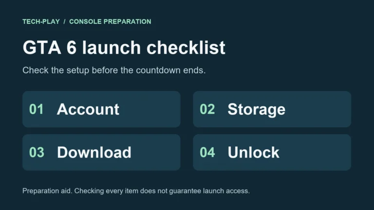
For launch timing and console setup, see the Tech-Play GTA 6 launch hub.